An Insider's Look at Field Camp
The San Jose State University field camp tests knowledge and will. It is a culminating experience unique to the geological sciences, where students apply the knowledge and skills from the classroom to a physically-intense, 4-week project in locations such as the high-desert mountains of eastern Nevada or the beauty of the Sierra Nevada Mountains.
The geology department is renowned for its strong field-based program. Students gain outdoor experience very early in the program. Even before declaring their major, students can take GEOL 28, a lower-division course targeted towards potential geology majors, where students gain first-hand experience studying geologic wonders at textbook locations such as Yosemite National Park and Big Sur State Park.
Rock Solid is Hirable
Local employers in geology-related industries have long expressed their desire for geologists with field-experience. Yes, it is good to be familiar with new and innovative technologies that are common in the industry, but employers continually stress a strong grasp on the fundamental concepts of geologic mapping, such as locating yourself on a map, identifying minerals and distinguishing rock units, and deducing regional geologic structures.
These skills are stressed in the department's field courses, where the students are constantly working to locate themselves, map rock units, and identify structures and deformation processes.
"When employers call me and ask about a student, if I tell the employer that the student completed our field camp, they are satisfied." says Jonathan Miller, experienced field camp instructor.
Preserving the Future
The future of universities providing fieldcamp courses is uncertain, as around the country, smaller, more-affordable fieldcamps are disappearing. Yet, employers continue to stress the need for geologists with strong fundamental field skills. Join us this spring or summer for SJSU field camp!
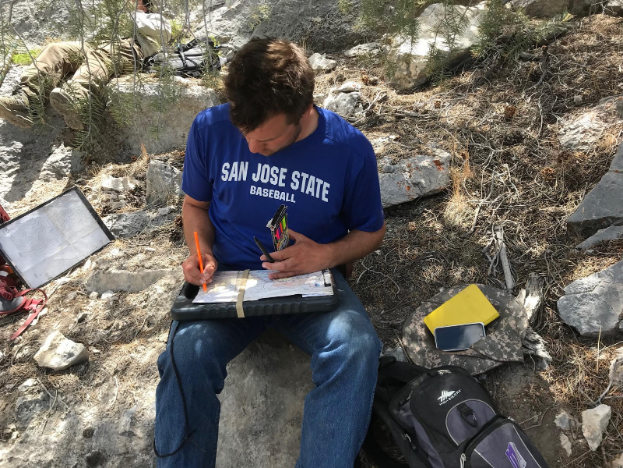
Mid-June in Eastern Nevada.
Zach Tanner (’18) sits in the shade of a juniper to record his data on his geologic map as while in the field.
Twelve days ago, the geologic map in his hand was blank. Now, the lines and colors are coming to life with the geology of the Eastern Nevada Mountain range.
"My understanding of geology", Tanner says, "has grown substantially from having to bring everything I have learned together in the field
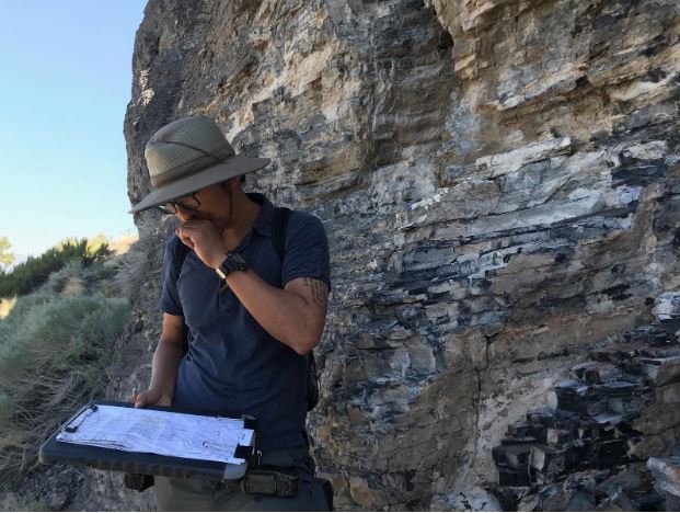
Students grapple with complex geologic structures that require constant problem solving and hypothesis testing in the field.
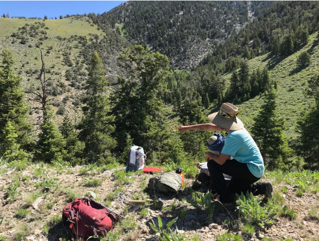
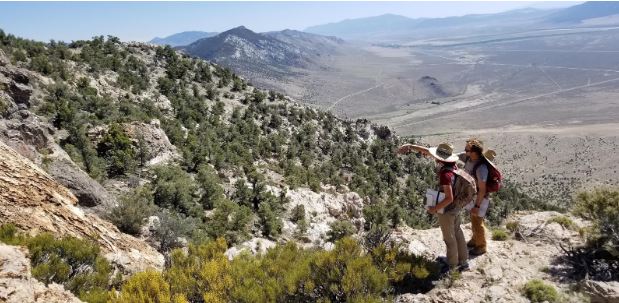
Students work in groups of 3 to 4, and each group is given a different map area. The students often work together to discuss potential interpretations for what they see in the field. Above, Jorge Contreras ('19), and Ben White ('18), utilize a sweeping view of their area to assess their map.
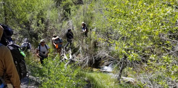
The students face the difficulties of summer fieldwork in eastern Nevada: strong winds, summer heat, lack of shade, stream crossing, and steep off trail hiking.
Teaching assistant, Colin Phillips (shown above) and Professors are available as resources to students in the field. They stimulate field discussions with students to help them better understand the complex geology.
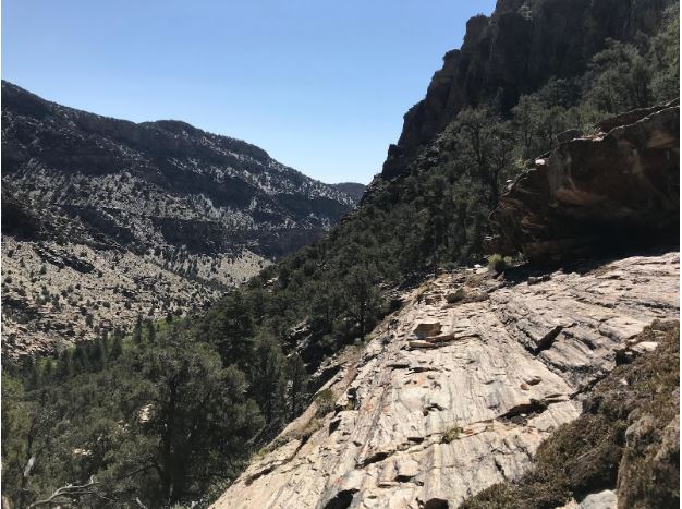
Eastern Nevada harbors famous geological localities, where geologic features related to regional extension have been debated for nearly 75 years.
Written by Colin Phillips (TA '18)